Online maps
Online maps
In the chapter "Map Management" the integration of online and offline maps by the user is explained.
Below you will find the inputs, which can be used in step 1 (enter URL) and in step 4 ("naming") for online maps available for free on the Internet, so that you can include them in ODIN and show the "origin" of the map:
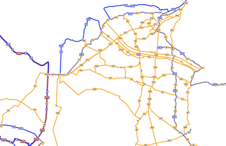
Basemap
| URL: |
https://www.basemap.at/wmts/1.0.0/WMTSCapabilities.xml |
| Select in step 2: |
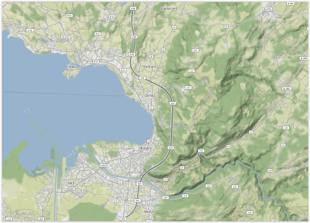
Geoland Basemap – Basemap of Austria in color |
|
|
| „Source“/specify provider: |
https://www.basemap.at/ |
| In step 4, copy the following text into the field „Attributions“: |
Map: <a href="https://basemap.at/#lizenz">basemap.at</a> |
|
|
| Map content: |
Austria map in color |
|
|
| Preview image: |
 |
| URL: |
https://www.basemap.at/wmts/1.0.0/WMTSCapabilities.xml |
| Select in step 2: |
Geoland Basemap Overlay – Basemap of Austria only
labeling as transparent layer |
|
|
| „Source“/specify provider: |
https://www.basemap.at/ |
| In step 4, copy the following text into the field „Attributions“: |
Map: <a href="https://basemap.at/#lizenz">basemap.at</a> |
|
|
| Map content: |
Transparent layer with designations
(e.g. administrative borders, place and street names,
house numbers, subway lines, water names,
mountain peaks, monuments etc.) |
|
|
| Preview image: |
 |
| URL: |
https://www.basemap.at/wmts/1.0.0/WMTSCapabilities.xml |
| Select in step 2: |
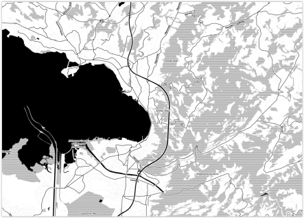
Geoland Basemap – Basemap of Austria in gray |
|
|
| „Source“/specify provider: |
https://www.basemap.at/ |
| In step 4, copy the following text into the field „Attributions“: |
Map: <a href="https://basemap.at/#lizenz">basemap.at</a> |
|
|
| Map content: |
Austria map in gray |
|
|
| Preview image: |
 |
| URL: |
https://www.basemap.at/wmts/1.0.0/WMTSCapabilities.xml |
| Select in step 2: |
Basemap High DPl – Basemap with 512x512px tiles
for support of user devices with high dpi display
(iPad retina, smartphones with HD resolution) |
|
|
| „Source“/specify provider: |
https://www.basemap.at/ |
| In step 4, copy the following text into the field „Attributions“: |
Map: <a href="https://basemap.at/#lizenz">basemap.at</a> |
|
|
| Map content: |
Austria map in color (HDPI) for devices with HDPI display |
|
|
| Preview image: |
 |
| URL: |
https://www.basemap.at/wmts/1.0.0/WMTSCapabilities.xml |
| Select in step 2: |
Geoland Basemap Orthofoto – Basemap as colored orthophoto |
|
|
| „Source“/specify provider: |
https://www.basemap.at/ |
| In step 4, copy the following text into the field „Attributions“: |
Map: <a href="https://basemap.at/#lizenz">basemap.at</a> |
|
|
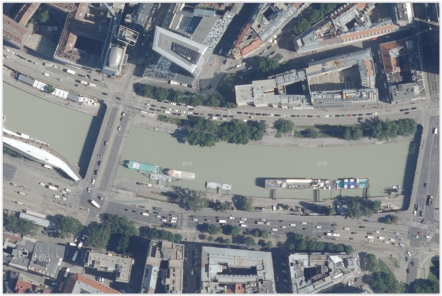
| Map content: |
Austria map as colored orthophoto |
|
|
| Preview image: |
 |
| URL: |
https://www.basemap.at/wmts/1.0.0/WMTSCapabilities.xml |
| Select in step 2: |
Geoland Basemap Gelände – Basemap terrain view
of Austria in gray color |
|
|
| „Source“/specify provider: |
https://www.basemap.at/ |
| In step 4, copy the following text into the field „Attributions“: |
Map: <a href="https://basemap.at/#lizenz">basemap.at</a> |
|
|
| Map content: |
Austria map with terrain representation (in gray) |
|
|
| Preview image: |
 |
| URL: |
https://www.basemap.at/wmts/1.0.0/WMTSCapabilities.xml |
| Select in step 2: |
Geoland Basemap Oberfläche – Basemap
surface representation of Austria in gray |
|
|
| „Source“/specify provider: |
https://www.basemap.at/ |
| In step 4, copy the following text into the field „Attributions“: |
Map: <a href="https://basemap.at/#lizenz">basemap.at</a> |
|
|
| Map content: |
Austria map with surface representation (in gray) |
|
|
| Preview image: |
|
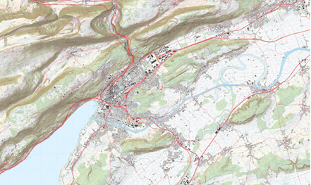
OpenTopoMap
| URL: |
https://tile.opentopomap.org/{z}/{x}/{y}.png |
|
|
| „Source“/specify provider: |
https://opentopomap.org/about |
| In step 4, copy the following text into the field „Attributions“: |
Map: <a href="https://www.opentopomap.org/about">opentopomap.org</a> |
|
|
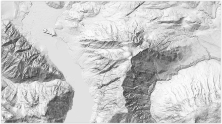
| Map content: |
Topographic map generated from OpenStreetMap data and SRTM elevation data |
|
|
| Preview image: |
 |
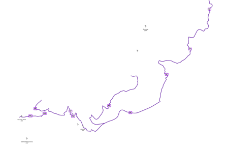
OpenSlopeMap
| URL: |
https://wmts.openslopemap.org/wmts |
|
|
| „Source“/specify provider: |
https://www.openslopemap.org |
| In step 4, copy the following text into the field „Attributions“: |
Map: <a href="https://www.openslopemap.org/projekt/lizenzen/">OpenSlopeMap.at</a> |
|
|
| Map content: |
currently 26 map sets for different areas in the alpine region and
the Pyrenees available (slope gradients, contour lines) |
|
|
| Preview image: |
 |
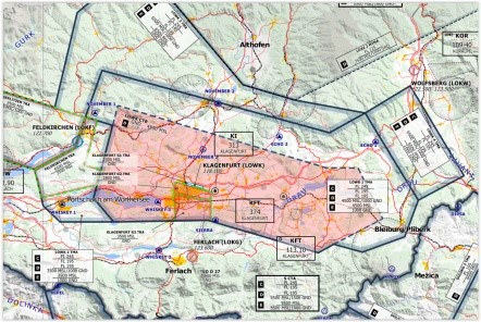
OpenFlightMap
| URL: |
https://snapshots.openflightmaps.org/live/1712/tiles/world/noninteractive/epsg3857/merged/512/latest/{z}/{x}/{y}.png |
|
|
| „Source“/specify provider: |
www.openflightmap.org |
| In step 4, copy the following text into the field „Attributions“: |
Map: <a href="https://www.openflightmaps.org/">openflightmap.org</a> |
|
|
| Map content: |
Fade in of the airspace order in the European area |
|
|
| Preview image: |
 |
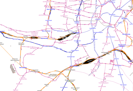
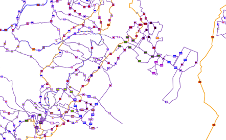
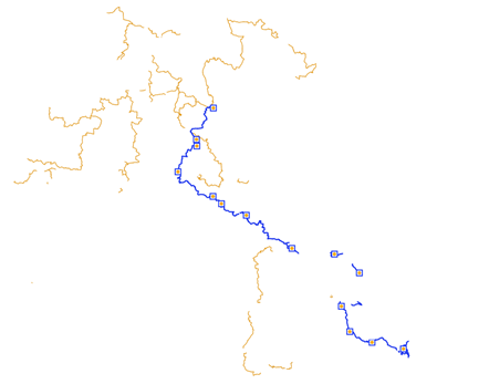
OpenRailwayMap
| URL: |
http://tiles.openrailwaymap.org/standard/{z}/{x}/{y}.png |
|
|
| „Source“/specify provider: |
www.openrailwaymap.org |
| In step 4, copy the following text into the field „Attributions“: |
Map: <a href="https://www.openrailwaymap.org/imprint-de.html">openrailwaymap.org</a> |
|
|
| Map content: |
Fade in of railroad and subway lines, stations, etc. |
|
|
| Preview image: |
 |
| URL: |
http://tiles.openrailwaymap.org/signals/{z}/{x}/{y}.png |
|
|
| „Source“/specify provider: |
www.openrailwaymap.org |
| In step 4, copy the following text into the field „Attributions“: |
Map: <a href="https://www.openrailwaymap.org/imprint-de.html">openrailwaymap.org</a> |
|
|
| Map content: |
Fade in of the signal systems for rail traffic |
|
|
| Preview image: |
 |
| URL: |
http://tiles.openrailwaymap.org/maxspeed/{z}/{x}/{y}.png |
|
|
| „Source“/specify provider: |
www.openrailwaymap.org |
| In step 4, copy the following text into the field „Attributions“: |
Map: <a href="https://www.openrailwaymap.org/imprint-de.html">openrailwaymap.org</a> |
|
|
| Map content: |
Fade in the speed ranges for rail traffic |
|
|
| Preview image: |
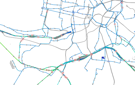 |
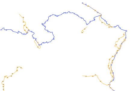
OpenSeaMap
| URL: |
http://t1.openseamap.org/seamark/{z}/{x}/{y}.png |
|
|
| „Source“/specify provider: |
www.openseamap.org |
| In step 4, copy the following text into the field „Attributions“: |
Map: <a href="https://www.openseamap.org/index.php?id=imprint">openseamap.org</a> |
|
|
| Map content: |
Fade in of maritime data (e.g. ports, beacons, corridors etc.) |
|
|
| Preview image: |
 |
OpenFireMap
| URL: |
http://openfiremap.org/hytiles/{z}/{x}/{y}.png |
|
|
| „Source“/specify provider: |
www.openfiremap.org |
| In step 4, copy the following text into the field „Attributions“: |
Map: <a href="https://www.openstreetmap.org/copyright">Open Street Map - Mitwirkende</a> |
|
|
| Map content: |
Fade in of fire department bases, hydrants etc. (if available in openfiremap) |
|
|
| Preview image: |
 |
OpenSnowMap
| URL: |
http://www.opensnowmap.org/pistes/{z}/{x}/{y}.png |
|
|
| „Source“/specify provider: |
www.opensnowmap.org |
| In step 4, copy the following text into the field „Attributions“: |
Map: <a href="https://www.openstreetmap.org/copyright">Open Street Map - Mitwirkende</a> |
|
|
| Map content: |
Fade in of winter sports facilities (worldwide) |
|
|
| Preview image: |
 |
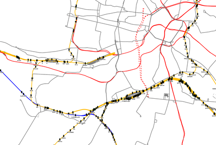
OpenCycleMap
| URL: |
https://tile.thunderforest.com/cycle/{z}/{x}/{y}.png |
|
|
| „Source“/specify provider: |
www.thunderforest.com |
| In step 4, copy the following text into the field „Attributions“: |
Karte: <a href="https://www.thunderforest.com/terms">Thunderforest</a> Daten: <a href="https://www.openstreetmap.org/copyright">Open Street Map - Mitwirkende</a> |
|
|
| Map content: |
Map with bike paths, bike sharing, bike stores, free access tool
(Europe, North America, Australia, New Zealand, South Korea, Taiwan). |
|
|
| Preview image: |
 |
Stamen
| URL: |
http://tile.stamen.com/toner/{z}/{x}/{y}.png |
|
|
| „Source“/specify provider: |
https://stamen.com/open-source |
| In step 4, copy the following text into the field „Attributions“: |
Map: <a href="https://stamen.com/privacy-policy">stamen.com</a> |
|
|
| Map content: |
Black and white map |
|
|
| Preview image: |
 |
| URL: |
http://tile.stamen.com/terrain/{z}/{x}/{y}.jpg |
|
|
| „Source“/specify provider: |
https://stamen.com/open-source |
| In step 4, copy the following text into the field „Attributions“: |
Map: <a href="https://stamen.com/privacy-policy">stamen.com</a> |
|
|
| Map content: |
Map showing terrain with hill shading and natural vegetation colors |
|
|
| Preview image: |
 |
| URL: |
http://tile.stamen.com/watercolor/{z}/{x}/{y}.jpg |
|
|
| „Source“/specify provider: |
https://stamen.com/open-source |
| In step 4, copy the following text into the field „Attributions“: |
Map: <a href="https://stamen.com/privacy-policy">stamen.com</a> |
|
|
| Map content: |
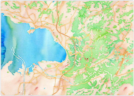
Watercolor map with raster effects |
|
|
| Preview image: |
 |
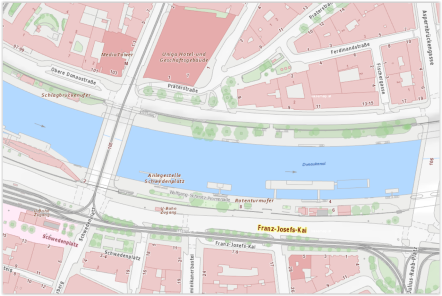
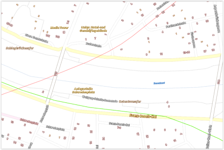
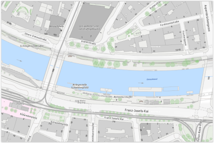
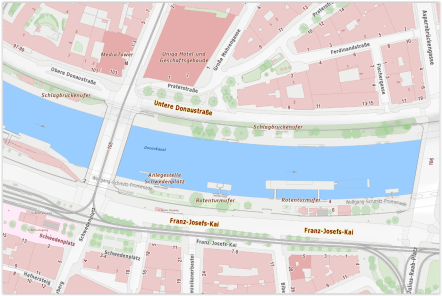
Online maps City of Vienna
| URL: |
http://maps.wien.gv.at/wmts/1.0.0/WMTSCapabilities.xml |
| Select in step 2: |
select one of the currently 16 available maps |
|
|
| „Source“/specify provider: |
https://www.wien.gv.at/ |
| In step 4, copy the following text into the field „Attributions“: |
Map: <a href="https://digitales.wien.gv.at/ogd-nutzungsbedingungen/">Datenquelle Stadt Wien - data.wien.gv.at</a> |
|
|
| Map content: |
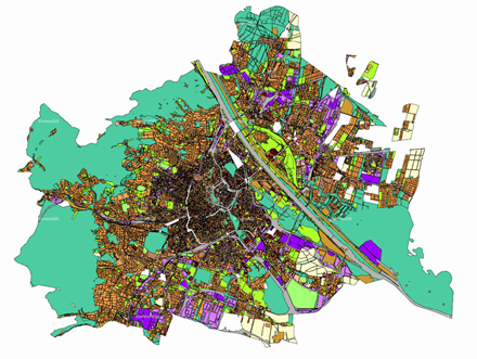
various maps of Vienna (e.g. labeling city map, dedication/zoning plan, aerial maps, orthophotos, etc.) |
|
|
| Preview image: |
 |
Online maps Norway (GeoNorge/Kartverket)
| URL: |
http://opencache.statkart.no/gatekeeper/gk/gk.open_wmts?service=WMTS&request=GetCapabilities |
| Select in step 2: |
select one of the currently 20 available maps |
|
|
| „Source“/specify provider: |
https://www.geonorge.no, https://www.kartverket.no |
| In step 4, copy the following text into the field „Attributions“ |
Karte: <a href="https://www.kartverket.no/en/api-and-data/terms-of-use">SSR ©Kartverket</a> |
|
|
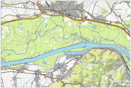
| Map content: |
e.g. road network, nautical charts, topo grids, place names etc. |
|
|
| Preview image: |
 |
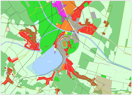
GIS map Burgenland
| URL: |
https://gis.bgld.gv.at/gisbgld/rest/services/Public/Grundkarte/MapServer/WMTS/1.0.0/WMTSCapabilities.xml |
|
|
| „Source“/specify provider: |
https://gis.bgld.gv.at |
| In step 4, copy the following text into the field „Attributions“: |
Map: <a href="https://geodaten.bgld.gv.at/de/allg-informationen/nutzungsbedingungen.html"“>geodaten.bgld.gv.at</a> |
|
|
| Map content: |
Map of Burgenland with geodatas (e.g. roads, waters, public services, real estate etc.) |
|
|
| Preview image: |
 |
SwissTopo
| URL: |
http://wmts.geo.admin.ch/1.0.0/WMTSCapabilities.xml |
| Select in step 2: |
select one of the currently 571 available maps |
|
|
| „Source“/specify provider: |
www.swisstopo.admin.ch |
| In step 4, copy the following text into the field „Attributions“: |
Map: <a href="https://www.admin.ch/gov/de/start/rechtliches.html">geo.admin.ch</a> |
|
|
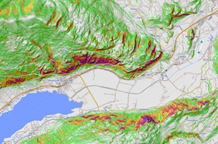
| Map content: |
e.g., vegetation, roads, cultural assets, water bodies, administrative boundaries,
cell phone exposure, energy, noise pollution, protected areas, plant distribution, etc.) |
|
|
| Preview image: |
 |
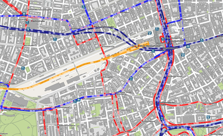
ÖPNV-Map
| URL: |
http://tile.memomaps.de/tilegen/{z}/{x}/{y}.png |
|
|
| „Source“/specify provider: |
http://www.öpnvkarte.de |
| In step 4, copy the following text into the field „Attributions“: |
Map: <a href="http://www.öpnvkarte.de">memomaps.de/Open Street Map - Mitwirkende</a> |
|
|
| Map content: |
Map with transport routes (roads, railroads, subways, buses, ferries etc.) and transfer points (airports, stops etc.) |
|
|
| Preview image: |
 |
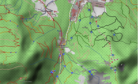
WayMarketTrails
| URL: |
https://tile.waymarkedtrails.org/hiking/{z}/{x}/{y}.png |
|
|
| „Source“/specify provider: |
www.waymarkedtrails.org |
| In step 4, copy the following text into the field „Attributions“: |
Map: <a href="https://hiking.waymarkedtrails.org/help/legal">waymarkedtrails.org</a> |
|
|
| Map content: |
Fade in of marked hiking trails and locations of signposts (emphasis on Europe,
some worldwide)
Will be extended permanently! |
|
|
| Preview image: |
 |
| URL: |
https://tile.waymarkedtrails.org/cycling/{z}/{x}/{y}.png |
|
|
| „Source“/specify provider: |
www.waymarkedtrails.org |
| In step 4, copy the following text into the field „Attributions“: |
Map: <a href="https://cycling.waymarkedtrails.org/help/legal">waymarkedtrails.org</a> |
|
|
| Map content: |
Fade in of marked bike paths/bike routes (emphasis on Europe, some worldwide)
Will be extended permanently! |
|
|
| Preview image: |
 |
| URL: |
https://tile.waymarkedtrails.org/mtb/{z}/{x}/{y}.png |
|
|
| „Source“/specify provider: |
www.waymarkedtrails.org |
| In step 4, copy the following text into the field „Attributions“: |
Map: <a href="https://mtb.waymarkedtrails.org/help/legal">waymarkedtrails.org</a> |
|
|
| Map content: |
Fade in marked mountain bike routes (not many worldwide yet)
Will be extended permanently! |
|
|
| Preview image: |
 |
| URL: |
https://tile.waymarkedtrails.org/riding/{z}/{x}/{y}.png |
|
|
| „Source“/specify provider: |
www.waymarkedtrails.org |
| In step 4, copy the following text into the field „Attributions“: |
Map: <a href="https://riding.waymarkedtrails.org/help/legal">waymarkedtrails.org</a> |
|
|
| Map content: |
Fade in of marked horse riding trails/routes (not yet many worldwide)
Will be extended permanently! |
|
|
| Preview image: |
 |
| URL: |
https://tile.waymarkedtrails.org/skating/{z}/{x}/{y}.png |
|
|
| „Source“/specify provider: |
www.waymarkedtrails.org |
| In step 4, copy the following text into the field „Attributions“: |
Map: <a href="https://skating.waymarkedtrails.org/help/legal">waymarkedtrails.org</a> |
|
|
| Map content: |
Fade in of marked routes for inline skating (currently only a few in Switzerland)
Will be extended permanently! |
|
|
| Preview image: |
 |
| URL: |
https://tile.waymarkedtrails.org/slopes/{z}/{x}/{y}.png |
|
|
| „Source“/specify provider: |
www.waymarkedtrails.org |
| In step 4, copy the following text into the field „Attributions“: |
Map: <a href="https://slopes.waymarkedtrails.org/help/legal">waymarkedtrails.org</a> |
|
|
| Map content: |
Fade in marked winter sports slopes (worldwide)
Will be extended permanently! |
|
|
| Preview image: |
 |
Riding and hiking map
| URL: |
http://tiles.topo.wanderreitkarte.de/topo/{z}/{x}/{y}.png |
|
|
| „Source“/specify provider: |
https://www.wanderreitkarte.de |
| In step 4, copy the following text into the field „Attributions“: |
Map: <a href="https://www.wanderreitkarte.de/licence_de.php"> Nop's Reit- und Wanderkarte</a> |
|
|
| Map content: |
Riding and hiking map (with additional information such as parking, stops, waterfalls,
pharmacies, financial institutions, restaurants, rest areas, places of interest etc.). |
|
|
| Preview image: |
 |
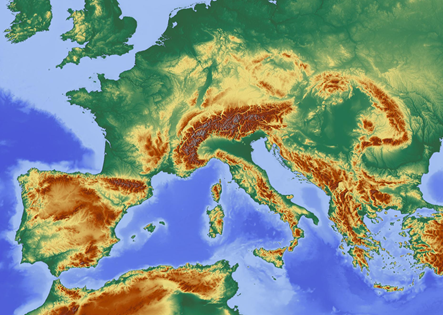
Relief map
| URL: |
http://maps-for-free.com/layer/relief/z{z}/row{y}/{z}_{x}-{y}.jpg |
|
|
| „Source“/specify provider: |
https://maps-for-free.com |
| In step 4, copy the following text into the field „Attributions“: |
Map: <a href="https://maps-for-free.com/#openModal"> maps-for-free.com</a> |
|
|
| Map content: |
Relief map |
|
|
| Preview image: |
 |
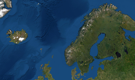
World Imagery Map
| URL: |
http://services.arcgisonline.com/arcgis/rest/services/World_Imagery/MapServer/WMTS/1.0.0/WMTSCapabilities.xml |
| Select in step 2: |
World_Imagery |
|
|
| „Source“/specify provider: |
https://www.esri.com/en-us/arcgis/products/arcgis-online/resources |
| In step 4, copy the following text into the field „Attributions“: |
Karte: <a href="https://doc.arcgis.com/de/arcgis-online/reference/terms-of-use.htm">ArcGIS Online</a> |
|
|
| Map content: |
World Satellite Map |
|
|
| Preview image: |
 |
|
|